CAA Authorised, GVC Certified UAV LiDAR & Photogrammetry Surveys
Fully Certified, Insured, and Compliant Drone Engineering
Commercial aerial mapping requires strict regulatory compliance, precision flight operations, and commercial-grade liability protections. At OSM Environmental Consulting, we deliver advanced, engineering-grade aerial data collection for construction, civil engineering, and environmental sectors across Northern Ireland.
Our drone surveying operations are fully backed by:
- CAA Operational Authorisation: Fully authorized by the Civil Aviation Authority for commercial flight operations.
- GVC Certification: Operated exclusively by pilots holding General Visual Line of Sight Certificates.
- Comprehensive Insurance: Full commercial aviation liability insurance matching rigorous industrial site criteria.
UAV LiDAR Surveys
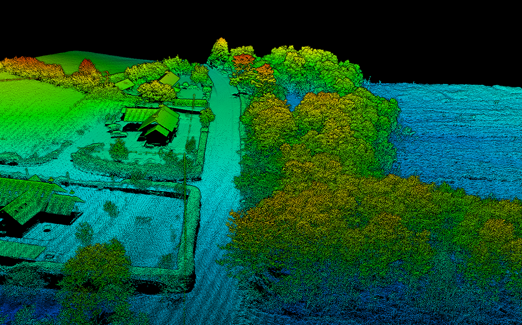
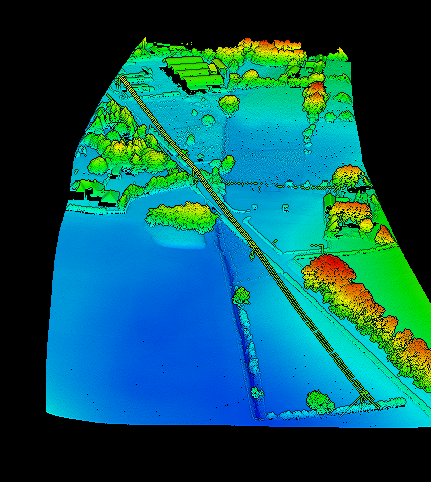
Our LiDAR (Light Detection and Ranging) drone emits active laser pulses to penetrate heavy vegetation, brush, and dense canopy cover. This sensor captures precise ground topography where standard cameras fail.
Key Deliverable: High-density 3D point clouds and Digital Terrain Models (DTMs).
Best Used For: Forested sites, overgrown brownfield land, and accurate bare-earth topography mapping.
High-Resolution Photogrammetry
Our photogrammetry drones capture overlapping, ultra-high-resolution aerial photography. Advanced processing software stitches these images together to generate geometrically accurate maps.
Key Deliverable: High-resolution 2D Orthomosaics and textured 3D Digital Surface Models (DSMs).
Best Used For: Site volume calculations, boundary tracking, asset inspection, and hard-surfacing audits.
Powering Your Flood Risk & Drainage Assessments
We don’t just capture drone data—we use it directly to solve planning bottlenecks. By deploying our own fleet of LiDAR and photogrammetry drones, we eliminate the need for expensive, third-party land surveyors.
We import this rapid, high-accuracy aerial data straight into our Flood Risk Assessments (FRA) and Drainage Assessments. This allows our engineers to instantly map exact hard-surfacing areas, run catchment calculations, and model complex overland storm water flow paths for DfI Rivers and local council planning submissions.
Need a High-Accuracy Aerial Survey for Your Site?
Get a rapid, CAA-compliant drone survey quote tailored to your development layout.
Get in touch today
 O'Sullivan Environmental Consulting